
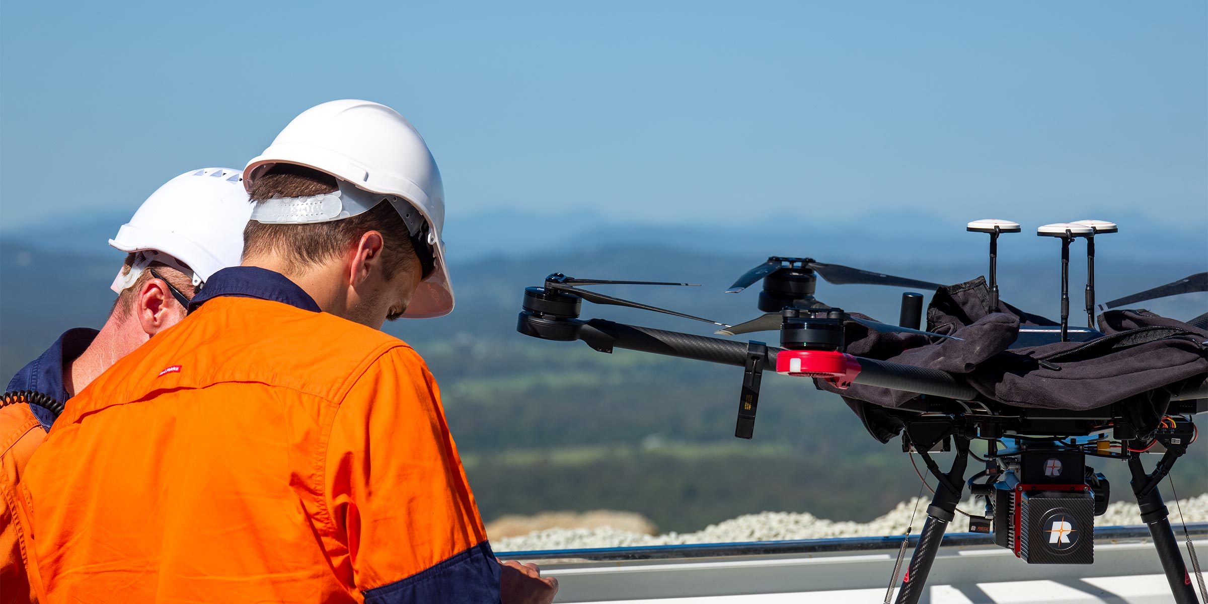
We pioneered the use of drones to survey quarries.
Thankfully it’s a lot easier than when we started
Whether it’s a simple stockpile survey or a whole site (no matter how difficult the terrain is), we’ve got you covered.
We fly DJI drones capable of terrain following flights to optimise image quality on steep and deep sites. We can upload data to your platform of choice or process it internally. If you have a flight that has lost RTK lock, we can process it for you and correct the data.
We also conduct vertical wall mapping drone survey to provide a high accuracy 3D model and textured surface suitable for face inspections and geological or geotechnical mapping.
DRONE SURVEY
Services we offer
- Stockpile flights
- Whole of site flights
- Detailed 3D wall scanning for geotechnical and geological mapping
- Fixing flights that have lost RTK lock
- Quality checking of drone data sets
- Custom processing of data
- Management of your Propeller, Trimble Stratus, DroneDeploy or Strayos platform